Transit-Oriented Development
Transit-Oriented Development (TOD) is the general term used in the transportation and real estate industries to describe the mix of residential, office, retail, and entertainment land use that occur within a half mile of Metro stations on public or privately owned property. These projects present opportunities to redesign and transform urban places in a way that brings transit services, households, employers, and public spaces together with easy walking and cycling connections between them. WMATA's Joint Development program are a form of TOD that is delivered on Metro-owned property and is a key contributor to the urban design framework that supports dense, vibrant, connected communities. These conditions are critical to maximize access to transit, grow ridership, and reduce car dependency. TOD also helps to achieve other strategic goals such as:
- Alleviating traffic congestion
- Minimizing carbon emissions
- Revitalizing neighborhoods
- Increasing housing production and affordability
- Supporting economic development
- Generating fare and tax revenues
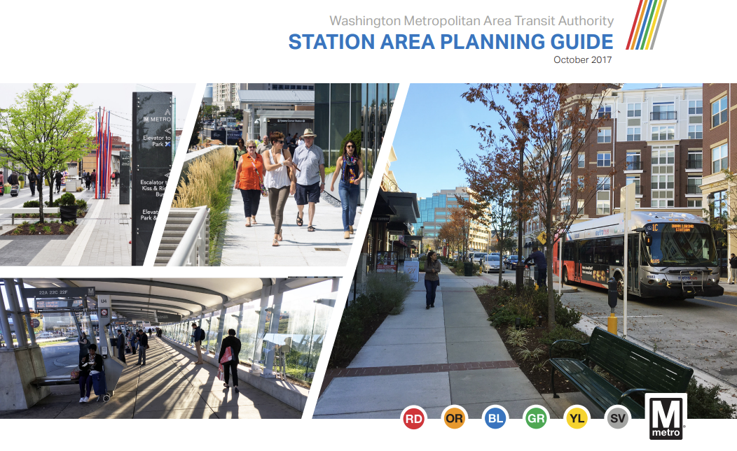
WMATA Station Area Planning Guide (SAPG)
Provides instruction for determining the layout, configuration, and capacity of transit facilities and multi-modal access at Metrorail stations. . It is intended for use by WMATA staff, local jurisdictional planners, government agencies, and developers.

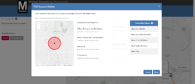
WMATA Station Walkshed Area Ridership Model (SWARM)
Provides a quantitative framework for estimating the impacts of different land uses and development densities on ridership and fare revenue collection.

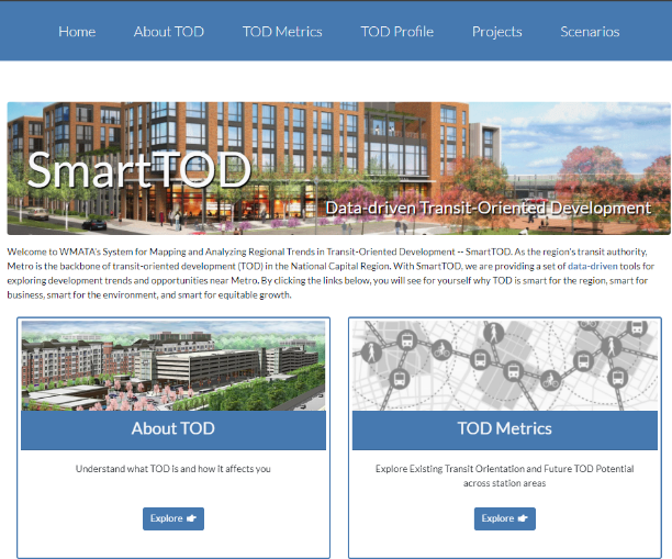
WMATA System for Mapping and Analyzing Regional Trends in Transit-Oriented Development (SmartTOD) Portal
Provides a set of data-driven tools for exploring ridership and real estate development trends near Metrorail stations.

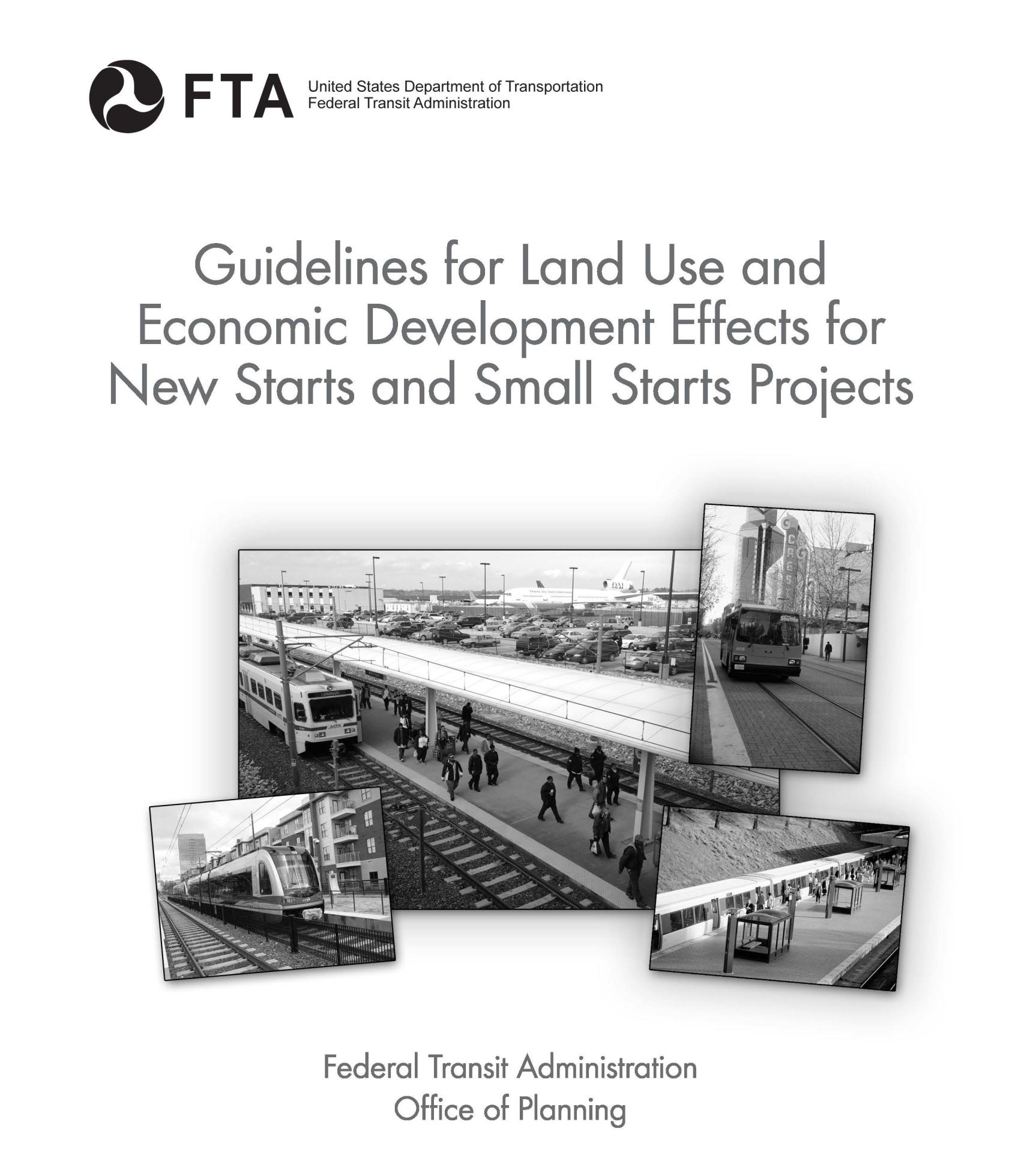
FTA Guidelines for Land Use & Economic Development Effects
Provides a series of criteria and thresholds to evaluate the robustness of urban plans and policies to support transit ridership, housing, and economic growth.
